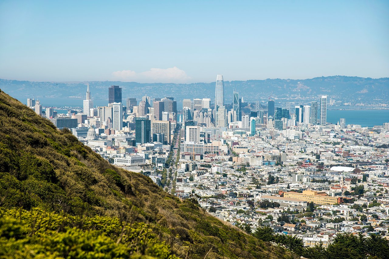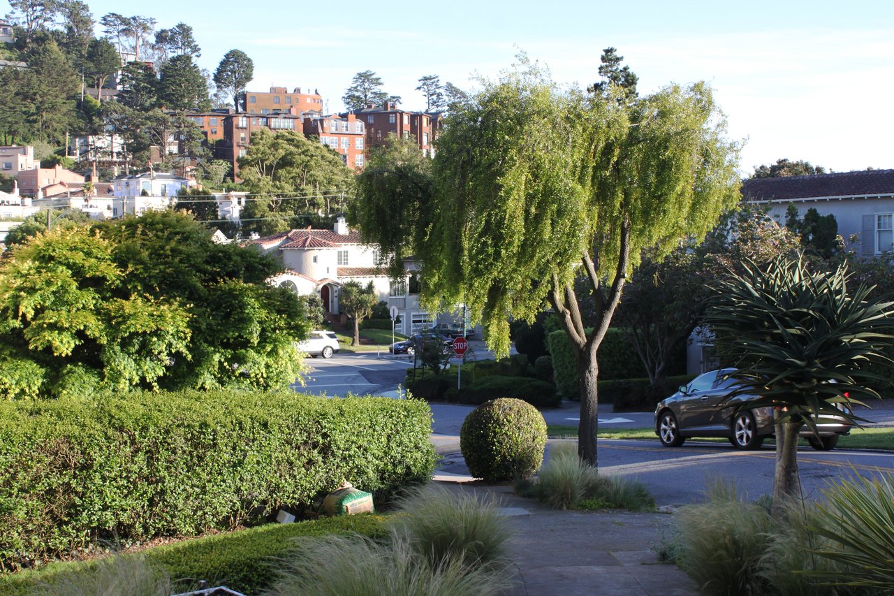
Twin Peaks covers the residential slopes below the summit, roughly between Clarendon Avenue and Upper Market Street, with Corbett Avenue and Portola Drive as the main roads. The streets curve with the hill, and many homes look out over downtown and the bay.
The two peaks rise just over 900 feet, and Christmas Tree Point, just below the north peak, takes in the city and the bay. The east side of the Twin Peaks Boulevard figure-eight is closed to cars, and the city broke ground this spring on a promenade there with a paved path, a walking trail and overlooks. Tank Hill, at 650 feet, has a 270-degree view over Cole Valley, and Corona Heights and Kite Hill are a short walk downhill.
Cafe du Nord and the Swedish American Hall share one historic building at 2174 Market Street, a basement club downstairs and a larger hall upstairs, with a steady calendar of touring indie and folk acts. The restored Castro Theatre, reopened in February 2026, is a few blocks further on Castro Street.
Daily errands mostly happen downhill, at Mollie Stone's and the restaurants along Market and 18th Street in the Castro, or along Cole Street in Cole Valley.
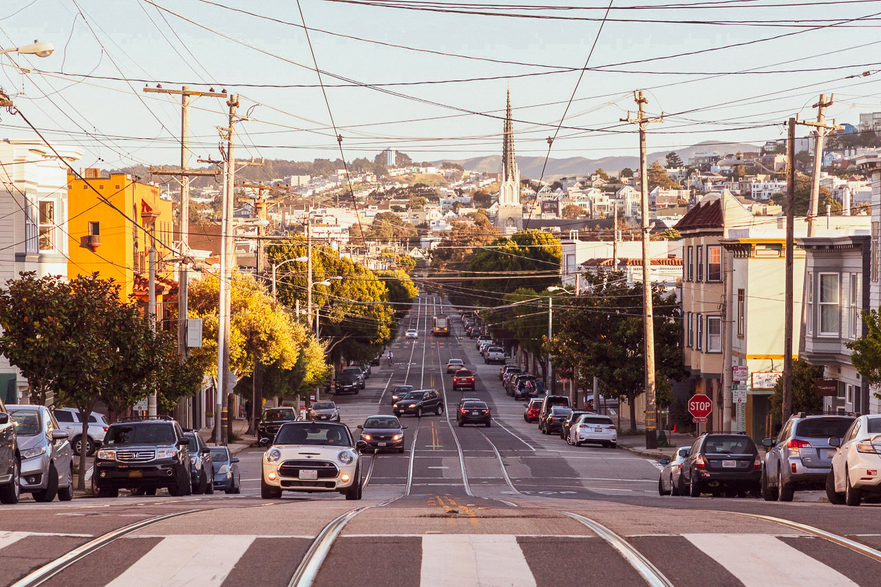
The 37 Corbett winds down Burnett, Portola and Corbett to the Castro Muni Metro station and on to the Haight. Castro and Forest Hill stations both put the Muni Metro subway within reach for the ride downtown. Portola Drive is the main route toward the west side.
The peaks split the summer fog. East-facing slopes stay sunnier and warmer, while the west side and the summit catch fog and wind.
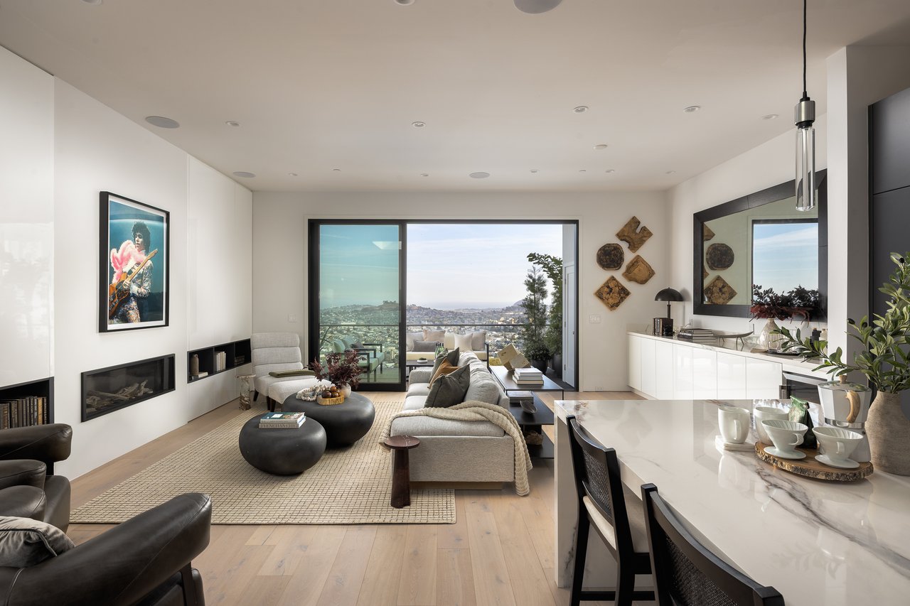
Most homes date from the 1960s and 1970s, built into the slope with garages at street level and large windows facing out. Condominiums make up much of the housing, mixed with single-family view homes, and a few older houses sit at the base of the hill. East-facing homes with downtown and Bay Bridge views draw the most attention.
Is Twin Peaks walkable?
The streets are steep and mostly residential. Most errands mean a walk or short ride down to the Castro or Cole Valley.
How do you get downtown from Twin Peaks?
Take the 37 Corbett to the Castro station, then Muni Metro downtown. Forest Hill station is the other nearby entry to the subway.
What is the weather like in Twin Peaks?
It depends on the side of the hill. East-facing slopes are sunnier, while the summit and west side get more fog and wind.
What about schools in Twin Peaks?
Buyers can check school enrollment and assignment details directly with SFUSD.
There's plenty to do around Twin Peaks, including shopping, dining, nightlife, parks, and more. Data provided by Walk Score and Yelp.
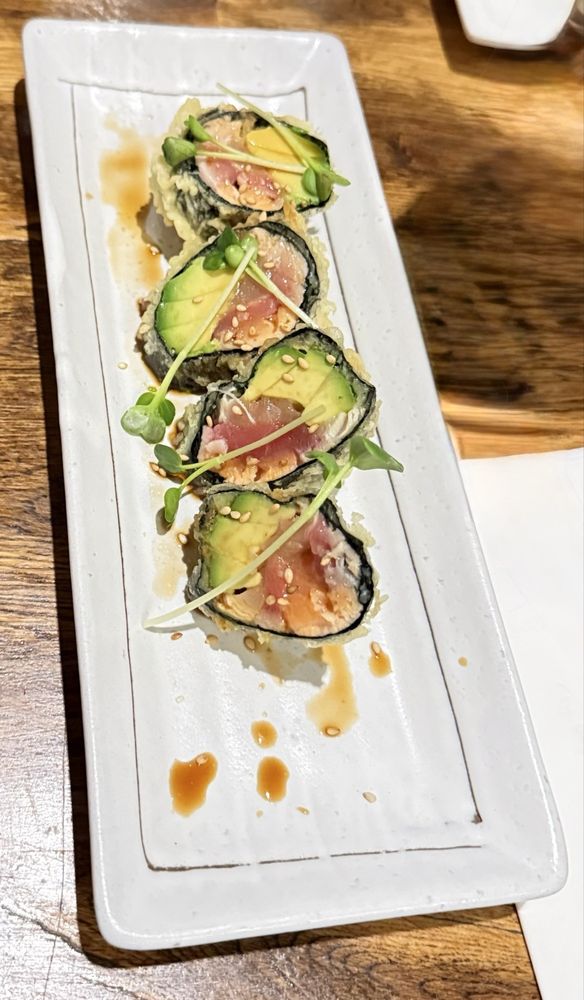
Explore popular things to do in the area, including Dash, Nosh's Dirty Popcorn, and Dumpling Kitchen - Castro.
| Name | Category | Distance | Reviews |
Ratings by
Yelp
|
|---|---|---|---|---|
| Dining | 0.5 miles | 73 reviews | 4.5/5 stars | |
| Dining | 0.72 miles | 0 reviews | 0/5 stars | |
| Dining · $$ | 0.72 miles | 217 reviews | 4.3/5 stars | |
| Dining · $$ | 0.78 miles | 76 reviews | 4.5/5 stars | |
| Dining | 0.84 miles | 0 reviews | 0/5 stars | |
| Dining · $$ | 0.92 miles | 524 reviews | 4.3/5 stars | |
| Dining | 0.93 miles | 42 reviews | 4.2/5 stars | |
| Dining | 0.99 miles | 0 reviews | 0/5 stars | |
| Shopping | 0.7 miles | 0 reviews | 0/5 stars | |
| Active | 0.48 miles | 0 reviews | 0/5 stars | |
| Active | 0.55 miles | 0 reviews | 0/5 stars | |
| Active | 0.55 miles | 3 reviews | 5/5 stars | |
| Active | 0.71 miles | 0 reviews | 0/5 stars | |
| Active | 0.71 miles | 8 reviews | 4.9/5 stars | |
| Active | 0.83 miles | 0 reviews | 0/5 stars | |
| Active | 0.85 miles | 1 review | 3/5 stars | |
| Active | 0.88 miles | 2 reviews | 5/5 stars | |
| Active | 0.98 miles | 1 review | 4/5 stars | |
| Nightlife | 0.71 miles | 58 reviews | 4.2/5 stars | |
| Beauty | 0.64 miles | 0 reviews | 0/5 stars | |
| Beauty | 0.72 miles | 0 reviews | 0/5 stars | |
| Beauty | 0.83 miles | 0 reviews | 0/5 stars | |
| Beauty | 0.98 miles | 0 reviews | 0/5 stars | |
| Beauty | 1 miles | 7 reviews | 5/5 stars | |
|
|
||||
|
|
||||
|
|
||||
|
|
||||
|
|
||||
|
|
Compass
891 Beach Street
San Francisco, CA 94109
Erin Thompson | CA DRE# 01777525
Erin Thompson & Team